Constructing flood inundation map of the downstream area in Vinh Phuc province
admin | 14/05/2021
- Name of project: Constructing flood inundation map of the downstream area in Vinh Phuc province
- The start time: January-2021
- Completion time: present
- Project location: Vinh Phuc province
Project details:
- Topographic survey;
- Collecting hydro-meteorological documents, reservoir operation procedures, flood survey and investigation, economic livelihoods of flooded areas;
- Calculation of the hydrological boundary condition for Mike Nam model;
- Developing the dam failure models according to scenarios;
- Development of hydraulic models for flooding;
- Development of flooding maps for lakes: Ho Dai Lai, Gia Khau, Ban Long, Lang Ha and Lap Dinh;
- Construction of flood warning milestones
On-Site Pictures:
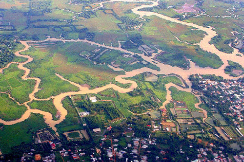
Research area of the Project


